


FLASH NEWS
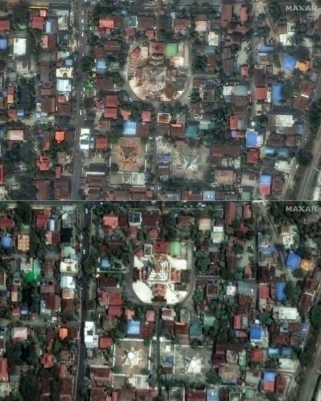
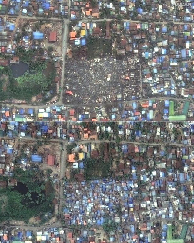
PHOTOS/ Satellite images before and after the devastating earthquake in Myanmar

2025-03-30 11:31:01 / BOTA
The death toll from the devastating earthquake that struck Myanmar on Friday has risen to 1,644.
According to initial estimates by Myanmar's opposition National Unity Government (NUG), the 7.7-magnitude earthquake damaged at least 2,900 buildings, 30 roads and seven bridges.
“Due to significant damage, the airports in Naypyitaw and Mandalay have been temporarily closed,” said the NUG, a group made up of members of the democratically elected government that was overthrown by the military in 2021, starting a civil war.
A control tower at the airport in Naypyitaw, Myanmar's planned capital, has collapsed, a source told Reuters.
The U.S. Geological Survey predicts the death toll in Myanmar could exceed 10,000, while the economic damage could be greater than the country's annual GDP.
Satellite images show the extent of the destruction in Myanmar.
Happening now...


America may withdraw from Europe, but not from SPAK
Nga Gentian Gaba
ideas


top


Alfa recipes


TRENDING 


services
- POLICE129
- STREET POLICE126
- AMBULANCE112
- FIREFIGHTER128